Google Earth

@googleearth

Discover geospatial datasets and tools, AI capabilities, and planetary-scale insights from Google Earth, Google Earth Engine and Google Maps Platform


  1. #1

    Today we’re bringing AI image generation with Nano Banana to Google Earth, letting you virtually reimagine anywhere in the real world. 🍌 https://t.co/zsgvAnbYrl For the first time…

  2. #2

    A lot has changed on Google Earth recently. Learn how to take advantage of our new professional features from Group Product Manager, Brian Ho, in our new Google Earth Tutorial! ht…

  3. #3

    We are thrilled to announce that eligible organizations can now apply for Google Earth credits through the Google Maps Platform (GMP) Public Programs. https://t.co/F1pKZTY2vH For…

  4. #4

    Relive 60 years of soccer history at Mexico City’s Aztec Stadium with Google Earth and Fundación ICA. ⚽🌎 https://t.co/zdFqq74jlY Mexico City's Estadio Azteca made soccer history l…

  5. #5

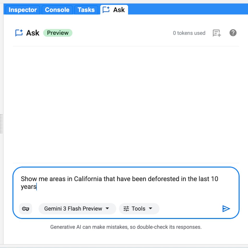
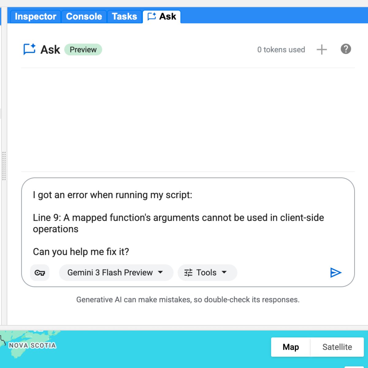
    Generate your script, inspect the diff, merge with confidence. We just launched Ask in the Google Earth Engine Code Editor. It brings Gemini capabilities directly into the Code Ed…

  6. #6

    Ready to turn planetary-scale data into instant conservational insights? 🌍 Nicholas Clinton, Alicia Sullivan, and Sheba Rasson are here to introduce custom Geospatial AI Agents bu…

  7. #7

    Prepare for takeoff. ✈️ Flight simulator is now available globally on web to all users. https://t.co/jV5ZW7BZeW We've recently added many our most powerful professional desktop fe…

  8. #8

    Conducting road safety audits, scheduling maintenance, or planning logistics routes used to require combing through imagery or, worse, driving miles of roads yourself. Not anymore…

  9. #9

    Alien landing on Earth? 👽 Spotted in downtown Manhattan 🏀

  10. #10

    Acquiring foundational site details usually means traveling to sites, finding utility access points, and tracking down disparate data sources. Google Earth is changing the way pro…

  11. #11

    Introducing new data layers for building footprints, land parcels, and AI powered layers that spot infrastructure assets from Street View imagery. Try these new layers now ➡️ http…

  12. #12

    Support land management decisions from every angle. 🌍 https://t.co/h9pVKy2NaY Conservation requires more than just a list of species — it requires a view of the entire ecosystem a…

  13. #13

    Urban planners spend hours wrangling GIS data for stakeholder presentation, analysis, and reviews. Unify your city planning data in Google Earth with new SHP imports. https://t.co…

  14. #14

    Costly delays happen when steep slopes surprise your crew after you’ve already deployed a team. Spot logistical hazards early with Google Earth's new elevation profiles. https://t…

  15. #15

    Project proposals without inspiring visuals can fail to align stakeholders on a shared vision. Bring your 3D models to life on Google Earth to secure buy-in faster. https://t.co/4…

  16. #16

    Planning irrigation and tractor routes without precise terrain data creates severe operational hazards. Google Earth now generates elevation profiles straight from the measure too…

  17. #17

    Terrain impacts nearly every project. Luckily, Google Earth’s measure tool just got a major upgrade. Introducing elevation profiles. https://t.co/0WDuNY7Mtb Simply draw a line, as…

  18. #18

    Shapefiles have officially landed on Earth. https://t.co/nocaG3UG4a By simply uploading a .zip file, you can render features and attributes as flexible, cloud-native data layers.…

  19. #19

    Aligning stakeholders on a shared vision is hard enough. Relying on flat 2D images, out of context renderings, or spending hours and hours on mock-ups makes it even harder. Google…

  20. #20

    Today, we’re thrilled to announce the launch of Shapefile and 3D model import support on Google Earth. Plus, we’ve also added elevation profiles to the measure tool just for… good…

  21. #21

    How do you map a country's supply chain in one afternoon? 🌴 Jake Wilkins explains how Epoch is using AlphaEarth Foundations satellite embeddings (part of Google Earth AI) and line…

  22. #22

    We want to hear from you this Earth Week! https://t.co/DIFfRsxKpU The technology we're building today is just the beginning, and we're constantly striving to make our map a more p…

  23. #23

    No place like home 🌎 Today we celebrate Earth Day with a cinematic voyage through the hidden corners of the world and the beautiful wonders of this planet. Here is a closer look a…

  24. #24

    Happy Earth Day! Today, we are celebrating the work happening across Google Earth, Google Earth Engine, and our Sustainability teams. https://t.co/pU9JY15QQT In this blog post, we…

  25. #25

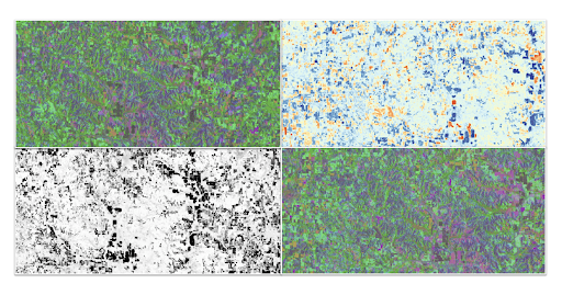
    How do we move beyond simply detecting landscape change to understanding what happened? 🛰️ Discover how satellite embeddings and baseline context from Google’s AlphaEarth model, a…

  26. #26

    There's a whole new way to work on Earth. 🌎 https://t.co/VU00faBi9l Combining iconic imagery with professional-grade data, no-code tools, and Gemini capabilities, Google Earth emp…

  27. #27

    Stop spending hours hunting down the right spatial data. Just ask for it. 🧠 Ask Google Earth is now directly integrated with our data layers. https://t.co/9rvm47wLph Try these pro…

  28. #28

    Welcome back to "Guess That Data Layer!" Thanks for playing! Access these new global data layers and more on Google Earth, today. 👉 https://t.co/JLJg4BTfi8 Here are the answers: 1…

  29. #29

    Welcome to "Guess That Data Layer!" To celebrate new global data layer coverage in Google Earth we challenge you to name these four layers! Here's a hint 🤫 https://t.co/E7Y2JofxZW…

  30. #30

    Beautiful new raster data layers are now available on Google Earth’s intuitive, no-code canvas. 🗺️👉 https://t.co/6PdjGjDsXJ With the analytical power of Google Earth Engine direct…